The telecommunication industry has the longest record of leveraging space technologies as a powerful means to connect people across the globe. The global satellite telecommunications market is predicted to skyrocket from $77.1 billion in 2022 to $159.6 billion by 2030. Satcoms are now part of our daily lives: they beam music to our car radios, broadcast our favorite TV channels, and bring the Internet to hard-to-reach areas.
While media and broadcasting, as well as military and defense, have always topped the list of the largest revenue-generating sectors for Satcom, there are less-known applications of it. With the increasing availability of high resolution satellite imagery free for different industries and categories of users, more opportunities have appeared.
The emergence of low-cost, low-power sensors and the Internet of Things (IoT) concept unlocked the benefits of available high resolution satellite imagery and reliable data for the telecom sector. For instance, EOS Data Analytics created satellite imagery-based software that gathers a wealth of agri-data and tools for its analysis in one platform, EOSDA Crop Monitoring. Using it, telecom providers can connect farmers with the latest smart farming technologies, attracting more clients and helping them bridge the connectivity gap.
The combination of higher resolution satellite images and connectivity ensured by satellite communications are enabling connected farms so crop growers can make the best use of both in-field and space-borne data, even in remote areas.
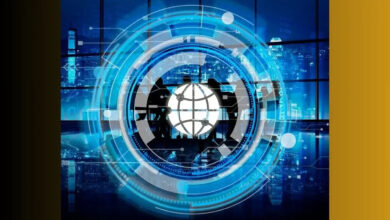
Industries Benefiting from Satellite Telecommunications
There are various types of telecommunications satellites, and each allows for particular applications, depending on their capabilities.
Geostationary Earth orbit satellites are placed at a distance of around 35,000 kilometers from Earth, which makes them unfit for powering the Internet. The key applications are TV broadcasting, voice, video-conferencing, and other multimedia services.
Medium Earth orbit satellites are operating at an altitude between 5,000 and 22,000 kilometers. These are mostly used in GPS tracking, land and maritime navigation, voice communications, etc.
Low Earth orbit satellites are usually less than 1,000 kilometers away, which makes them ideal for faster communication and time-sensitive data transfer. Interactive multimedia, broadband Internet, mobile networks, real-time video streaming, and online education are only a few of their uses.
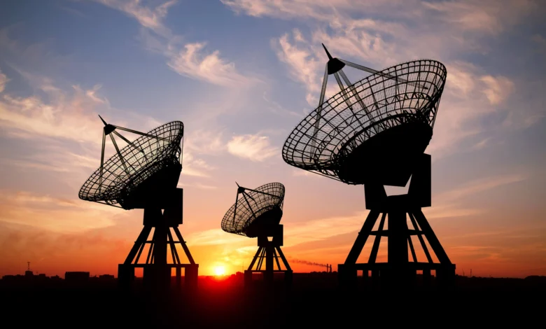
How Satellite Broadcasting Functions
Satellite broadcasting is provided by two key components: the ground one and the space one. The first part includes ground terminals that receive and transmit the signal, while the other one is a satellite in low Earth orbit itself.
The broadcasting process begins when the ground terminal emits a signal to the space. The satellite receives it, and after processing and amplifying the signal, sends it back to the ground terminal. The final stage is the receipt of an amplified signal by the ground station on Earth, which may range from fixed satellite equipment to mobile receiving equipment set on aircraft to satellite phones.
Telecommunications for Smart Farming
Telecom businesses are increasingly seeking ways to bring more value to their customers through innovation and technology, and smart agriculture is one of them. Instead of investing time and money in the development of their own agriculture-focused solutions from scratch, telecommunications companies build on the already existing ones, such as EOSDA Crop Monitoring.
It’s a precision-agriculture platform that provides satellite field monitoring and helps clients increase the efficiency of their in-field operations for better crop productivity. It holds plenty of features that the telecom sector can benefit from.
Among them is AI-driven high quality satellite images analysis that can tell about the state of crop health to prevent threats coming from weeds, pests, and weather events. The zoning feature allows for VRA approach implementation for differential seed planting and fertilizer application based on the needs of each field zone. A 40 years’ worth of weather data alongside current 2-week forecasts facilitates the planning of field activities during the growing cycle and helps farmers keep their crops prepared for weather extremities. Scouts can use the mobile version to navigate through fields, checking only the pinpointed areas at risk and making notes right in the app.
EOS Data Analytics offers its platform as an off-the-shelf solution, available on a subscription basis or a white-label product. In the first case, telecommunications companies can get an account with all available features of EOSDA Crop Monitoring for over five thousand hectares, account management and customer support services. Alternatively, they can purchase a white-label product and resell it under their own brand and domain. The advanced white-label offer includes a mobile application and user management admin panel as a bonus.
EOS Data Analytics
Moreover, EOS Data Analytics delivers custom solutions for telecom market players eager to meet the specific needs of governments or large growers they work with. They include yield prediction, classification of agricultural crops, soil moisture mapping, and detection of field boundaries using a combination of AI, machine learning models, and space-borne data.
One example of a synergy between satellite tech and telecom is EOSDA’s partnership with the Malaysian telecommunications and digital service provider REDtone. The company sees EOSDA Crop Monitoring as an essential component of the precision agriculture revolution to ensure food security in Malaysia and strengthen its position in the market as a smart farming solutions provider. By combining the high-res satellite images insights provided by the platform with the data collected from their own IoT sensors, REDtone enhances the use of data by farmers and governments alike for the better of their crops.